Found this on Golf Magic.
If it did happen, it must have been only once or twice. It's not something you'd forget to mention.
Bob Warters
Fri, 29 Mar 2013
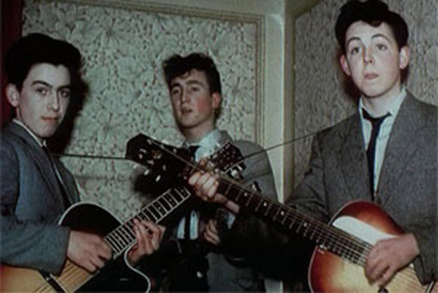
Harrison (left), Lennon (middle) and McCartney (right) used to loop to raise money for instruments
Last week marked the 50th anniversary of the release of The Beatles’ multi-million selling debut album ‘Please, Please Me’.
You may already know that.
What you might not know, however, is that three of the Fab Four – Paul McCartney, John Lennon and George Harrison – sometimes caddied to help fund the instruments they bought to play on that first record.
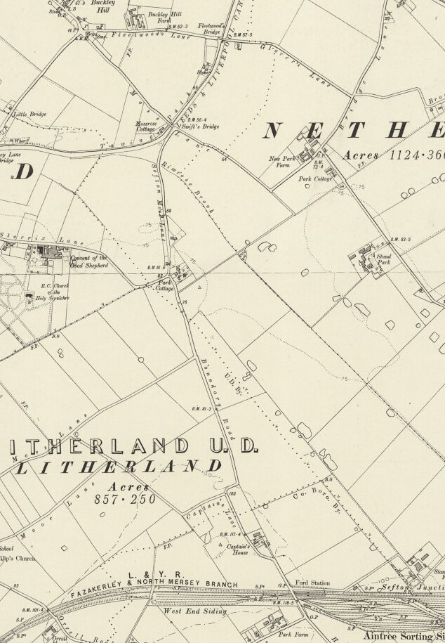
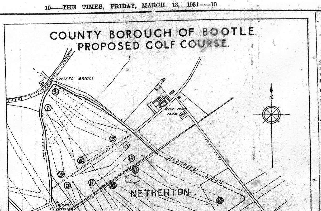
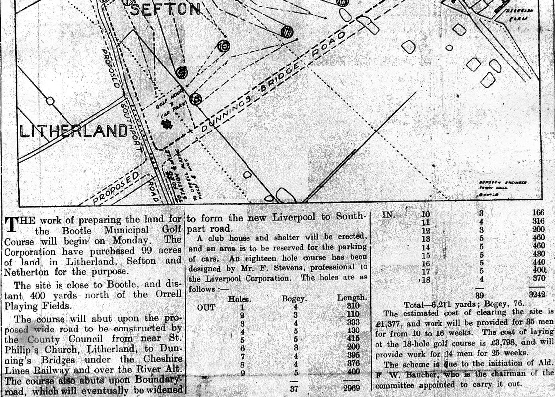
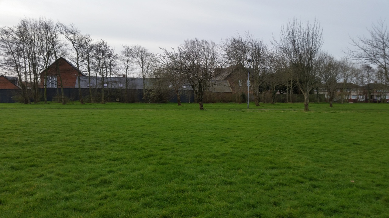
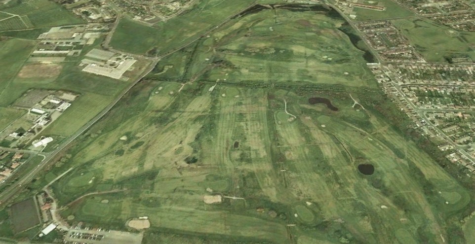
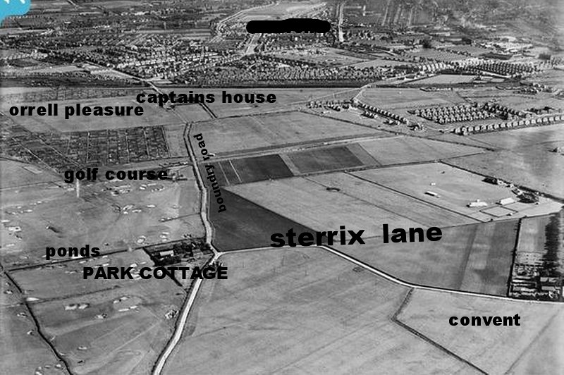
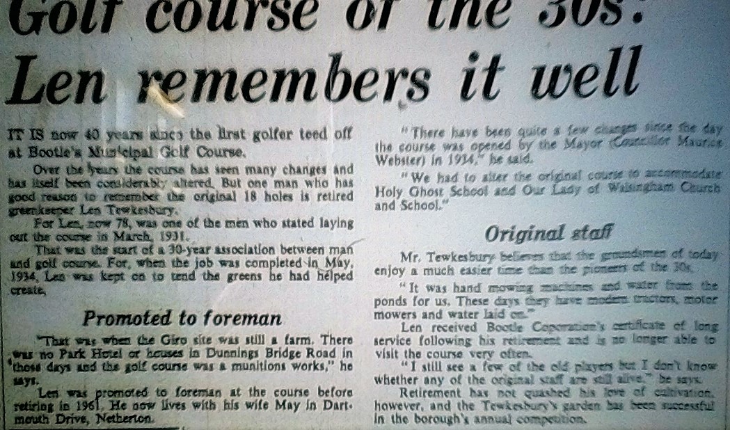
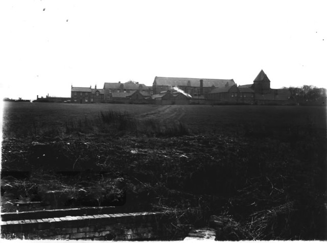
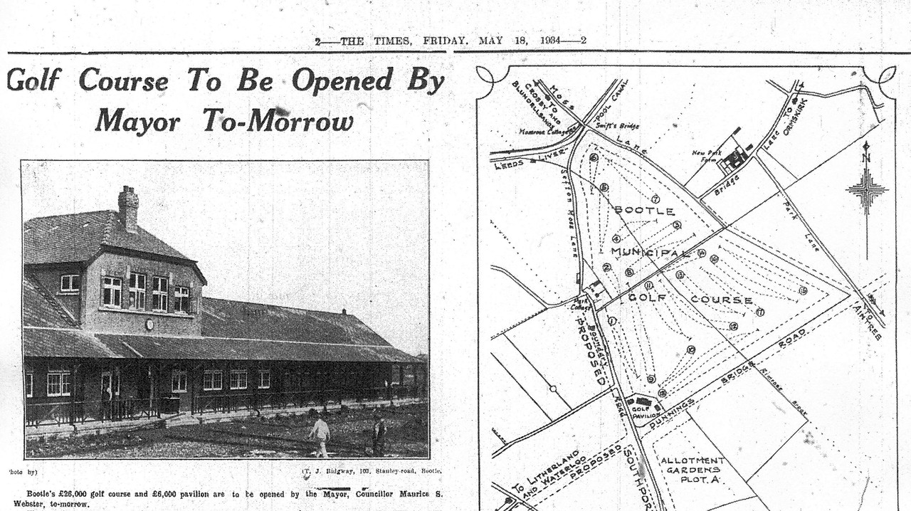
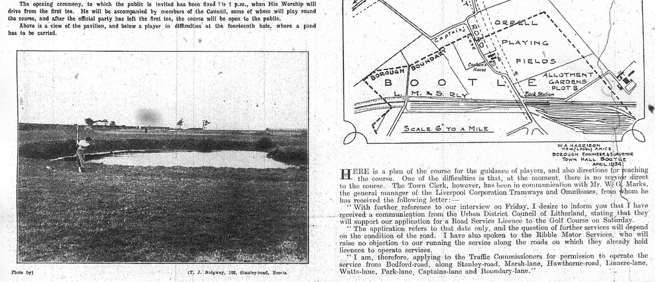
Bootle municipal golf course, built in 1934, was just a few miles from their homes in North Liverpool and, although there’s no record of any of them playing golf, the trio reputedly saw the opportunity to earn some pocket money offering to carry the clubs of local golfers round the parkland course.
Whatever money they scraped together was used as a down payment on various guitars they acquired from Hessy’s Music Store in the city where many Merseyside musicians knew they could get credit on their purchases.
They told the owners that one day they would be famous and they’d pay them back.
Yeah, yeah right!
 host image online