I'm not sure, but I think St John's is the church on the left of the picture, which was taken July 1936.
Brasenose Road is on the left, then St John's Road.
Further up ,on St John's Road, is the first St Alexander's church.
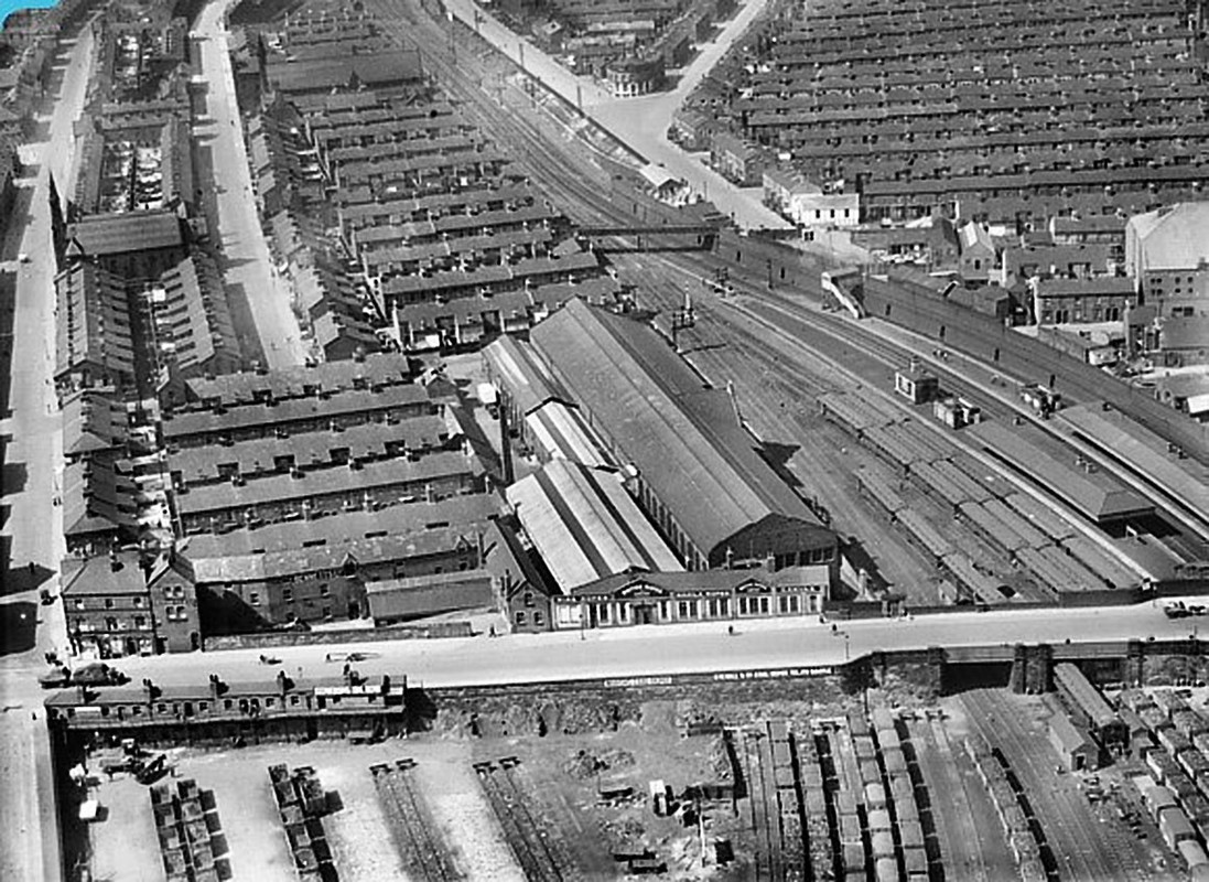
The street immediately behind the long rectangular British Ropes building, in the centre of the photo, is Hotspur Street.The next street is Glendower.
Just go through Shakespeare for the rest of the street names.
You can see the bridge over the railway, that had the really steep steps, leading down to the Glen.
The end house on St John's Road, on the lhs nearest to the camera, was Mrs Grogan's shop (in the 60s).
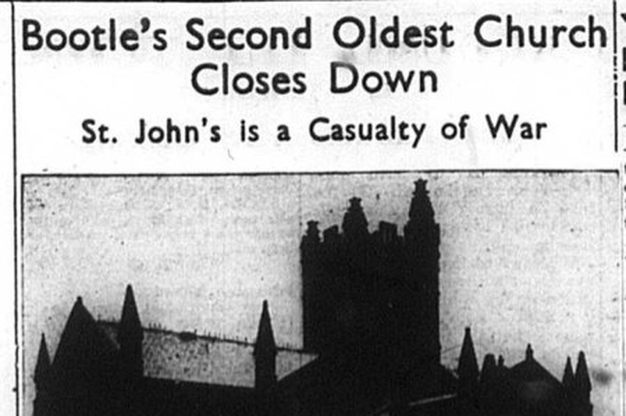
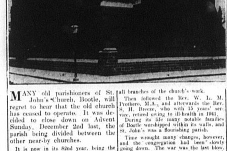
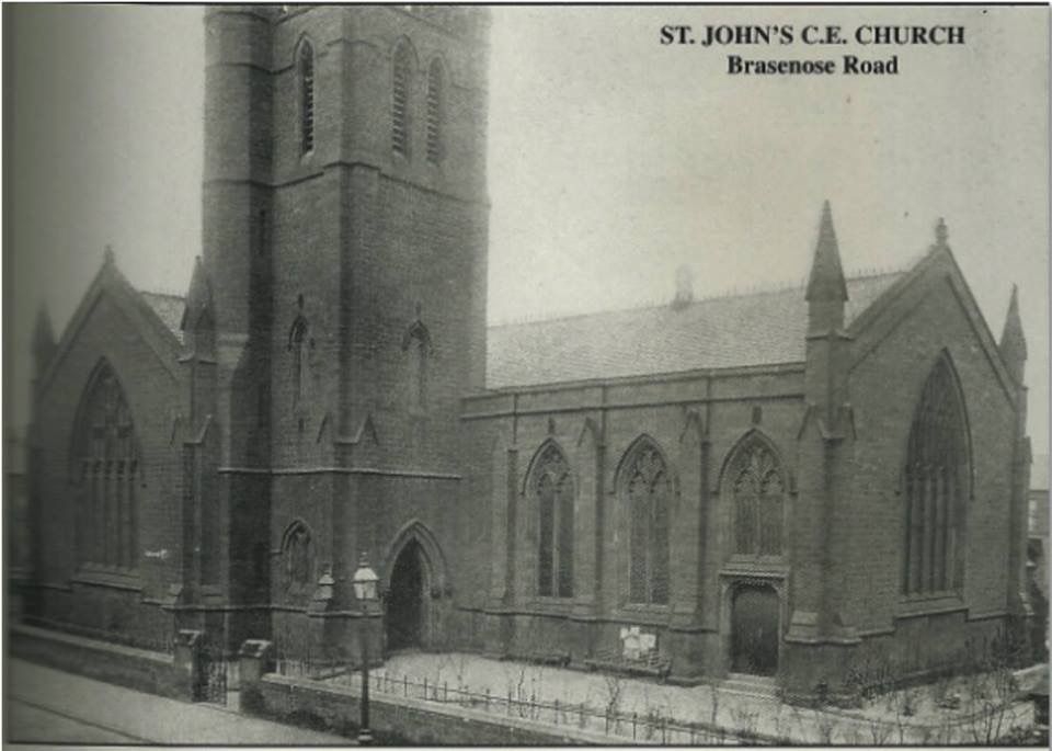
St John, Brasenose Rd., Bootle, L20 8HT
St John is located at OS Grid Reference - SJ 341941 .
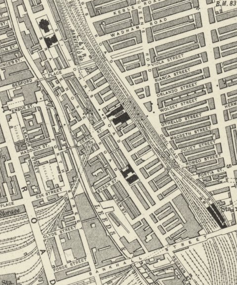
This grid reference points to the church being in Ceres Street. But there's no church in the photo at this map reference.
Est 1827 - demolished after bomb damage.
Source: Liverpool Record Office
Map of area covered.
Regards
Dan